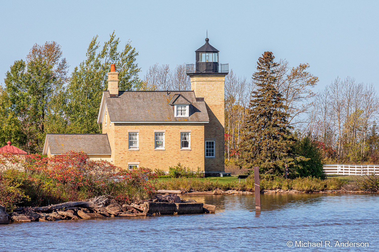
Lake Superior has fifty-six lighthouses along its 2,730 mile shoreline. One of them — a retired one — can be found in Ontonagon. The current Ontonagon Lighthouse was constructed in a “schoolhouse” style in 1866 to replace an older wooden structure. It helped guide ships into the harbor to deliver supplies and pick up the copper and lumber produced in the area. It operated until being deactivated on the last day of 1963. The lighthouse was originally built on the shore but now sits quite far back. It was not moved, however, the shoreline moved.

Although a light still shines at night, it’s only decorative. A fifth-order Fresnel lens that was installed at a height of 35 feet in the tower in 1857 has been moved to the Ontonagon Historical Museum. I thought I could simulate a bright light in a photo by getting the sun to shine through the tower window. It didn’t turn out quite as planned, but you get the idea. And, of course, a light would typically not be lit during a sunny day! A light located at the end of the west pier now provides navigational guidance into the harbor.
We toured the lighthouse. After an interesting introduction by, I assume, someone from the historical society, we were allowed to roam through the three stories of the residence and go up the light tower. The rooms have been restored with period furniture and nothing is roped off, so they have a lived-in feel rather than a museum feel. Although the tower is square, you still climb up a typical circular metal staircase like those found in most lighthouses. It’s interesting to imagine what living there might have been like, but I think the changes that have accompanied the passage of time make it difficult, if not impossible, to imagine what life was really like.
(Click on any photo to enlarge, then use arrows to scroll through the images.)
The Porcupine Mountains Wilderness State Park is only about twenty-five miles west of Ontonagon. At approximately 60,000 acres, it’s the largest park in Michigan. This is a wilderness area, though, so don’t expect to drive all through the park. In fact, there are only two main roads: a road in the north that leads to Lake of the Clouds Scenic Overlook, and the Southern Boundary Road which takes you to the Presque Isle River Waterfalls Loop and campground. After a stop at the visitor center to pay the entree fee, we headed off to Lake of the Clouds.

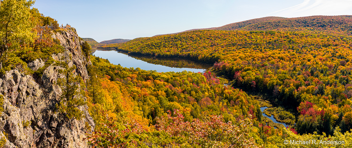
You can’t miss Lake of the Clouds. The northern road dead-ends right in the parking lot. Although this is a wilderness park, don’t let the word wilderness concern you. There is a wide boardwalk to the viewpoint that is easy to negotiate. I’m sure that the view from here is excellent any time of the year, but the view in late September with fall color at its peak was spectacular. If you’re in Ontonagon and have only a few hours to spare, the drive to Lake of the Clouds could be worthwhile.
Lake of the Clouds covers 133 acres but is relatively shallow, the greatest depth being only 12 feet. According to porcupineup.com, Lake of the Clouds is “one of the most-photographed sights in the entire Upper Peninsula.” I know that I made a significant contribution to this year’s total. But, the colors are not limited to the trees. Not wanting to miss out on this seasonal event, some mushrooms had even donned traditional autumn colors.
If you like waterfalls, you’ll be glad to know that the UP is home to more than 300 falls. We set out to find some. Despite our tourist brochures, that turned out to be more difficult than we had anticipated. In fact, we drove along most of the Southern Boundary Road before we finally saw a sign for “Overlooked Falls.” We may have accidentally overlooked some other falls, but we stopped for this one.
A nice trail led us through a deciduous forest that was also dressing up for the season. When our trail crossed another one, a sign guided us to our destination. The water level was low and the falls were small but the bubbling water on a quiet day provided a calm soundtrack to our visit.
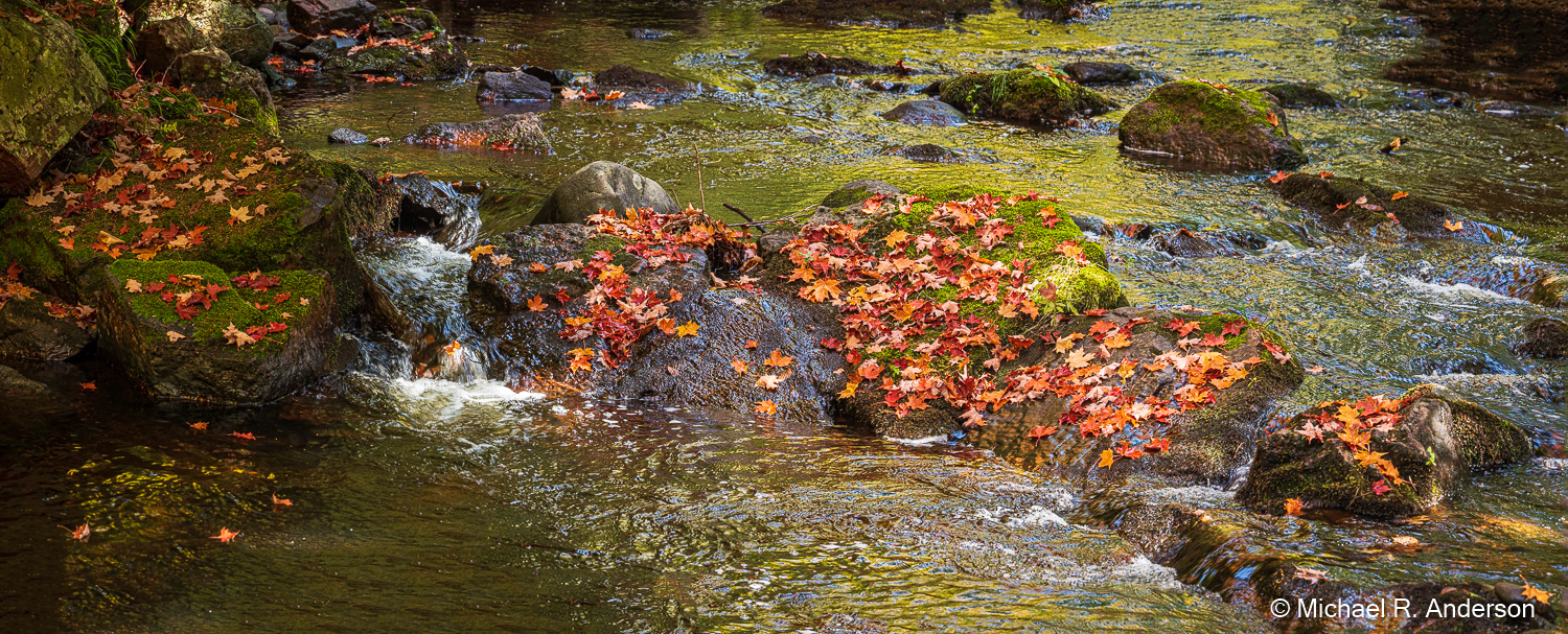
While hiking back up the trail, I noticed some rocks in the stream that were covered with red and orange maple leaves. They must have fallen upstream and were subsequently deposited on the rocks. I thought it made for a nice seasonal photograph.

Returning to the car, we continued down the road to Presque Isle River Waterfalls Loop. There are three waterfalls here, Nawadaha Falls, Manido Falls and Manabezho Falls. You can park in a couple places and take short walks to each falls, or you can stop in the first lot and walk the 3/4-mile trail to see all three falls. Downstream from the falls is the Presque Isle Suspension Bridge. From the bridge you can get a great view of the potholes or kettles in the riverbed that have been scoured out over centuries by rocks tossed around in the river during times of high water. If you’re using a tripod for a photo, however, you’ll have to wait until no one is walking on the bridge, because walking imparts a nice springy bounce to the structure.
I won’t describe each falls separately or post three galleries. The falls along this river are often part of a series of cascades. Sometimes it’s hard to tell whether you’re at the bottom of one falls or the top of the next one. Low water levels found in early fall means it’s not really the best time of year for viewing waterfalls, especially this year with the severe drought. In many places large areas of exposed riverbed dominate the view. Despite that, this was a great place to hike and take in a variety of river and waterfall views.
Outside of the park, we headed north on Michigan 64. Some of the tourist info that we had said that Bonanza Falls was located along this road. We were happily surprised to see the sign and, not wanting it to be overlooked, we drove in. We were the only car in the lot. This would probably be a wonderful waterfall to see when the water levels are high. Low water, however, would make it a great place for a geology field trip.
Many layers of shale were easy to see in the bedrock of the river. The bedrock is tilted somewhat so that as the river flows downstream, the water has to continually rise up over each consecutive layer. Therefore, when you look downstream you see alternating strips of rock and water. In some places the water looked quite red and patches of dry red silt could be found on the rocks. If you’re into geology, you might be interested to know that this is Nonesuch Shale, which is between 900 million and 1 billion years old. If you’re not into geology, you can skip over the previous sentence.
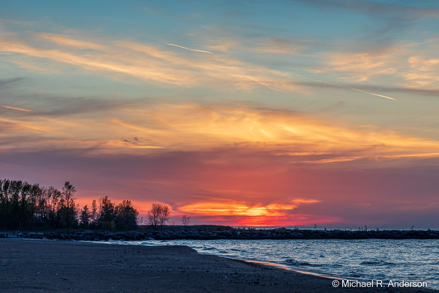
Having seen our minimum daily requirement of waterfalls, and with the afternoon slipping away into evening, we headed back to Ontonagon. We arrived in time to catch another sunset from the beach, pick up some carry-out dinners from Syl’s Cafe and call it a day.
