St. Ignace, Michigan, sits on the north side of the Straits of Mackinac. On the south side of the Straits, across the Mackinac Bridge, is a town named Mackinaw City. I’m sure I’m not the first tourist to ponder pronunciation, but the spelling seems to imply that the last syllable in the name of the town would be pronounced “aw,” and the last syllable in the name of the straights and bridge would be pronounced “ac.” If you thought that, however, you’d be wrong.
According to the Mackinac Bridge Authority:
The French pronounced it “aw” but spelled it “ac”. The British heard it pronounced “aw” so they spelled it that way. Whichever way you see it spelled, it is always pronounced “aw”.
Being the authority, they should know!
After checking into the Village Inn Hotel, we walked along the St. Ignace waterfront. It was easy to spot the Wawatam Lighthouse because it was right across the street from the hotel. Imagining sailing ships seeking safe harbor in a storm, I was disappointed to discover that it was built in 1998 as part of a Michigan Welcome Center in Monroe, Michigan. When Monroe decided to revamp their visitor center in 2004, the lighthouse was relocated to St. Ignace. It is, however, a real lighthouse, not just a decoration. It contains a 250-mm Fresnel lens that can be seen 13 miles out into Lake Huron. As we walked back to the adjacent Wawatam Park, we happened upon a solar-powered clock. It was not working, however, due to a lack of solar power.
(Click on any photo to enlarge, then use arrows to scroll through the images.)
The next morning we boarded the 9:30 AM Shepler’s Ferry in St. Ignace for a day trip to Mackinac Island. We chose this specific time of departure because it’s one of only three trips each day that goes out under the Mackinac Bridge before circling over to the island. Passengers have the option of sitting below in the heated cabin or above on the deck. There was a bit of a chill in the air, but we chose to sit on the deck. No one else did. A couple people came up for a few minutes when we passed under the bridge but the rest of the time we had the deck to ourselves. After we docked at the island, the Captain came out of the pilot house and noticed we were the only ones there. He looked at our Badger jackets and said, “Oh, no wonder. You’re from Wisconsin.”
I’m sure Mr. Google could tell you all you need to know about the Mackinac Bridge, but I can’t resist sharing some interesting facts. I’ll keep it short so you won’t have to get another cup of coffee.
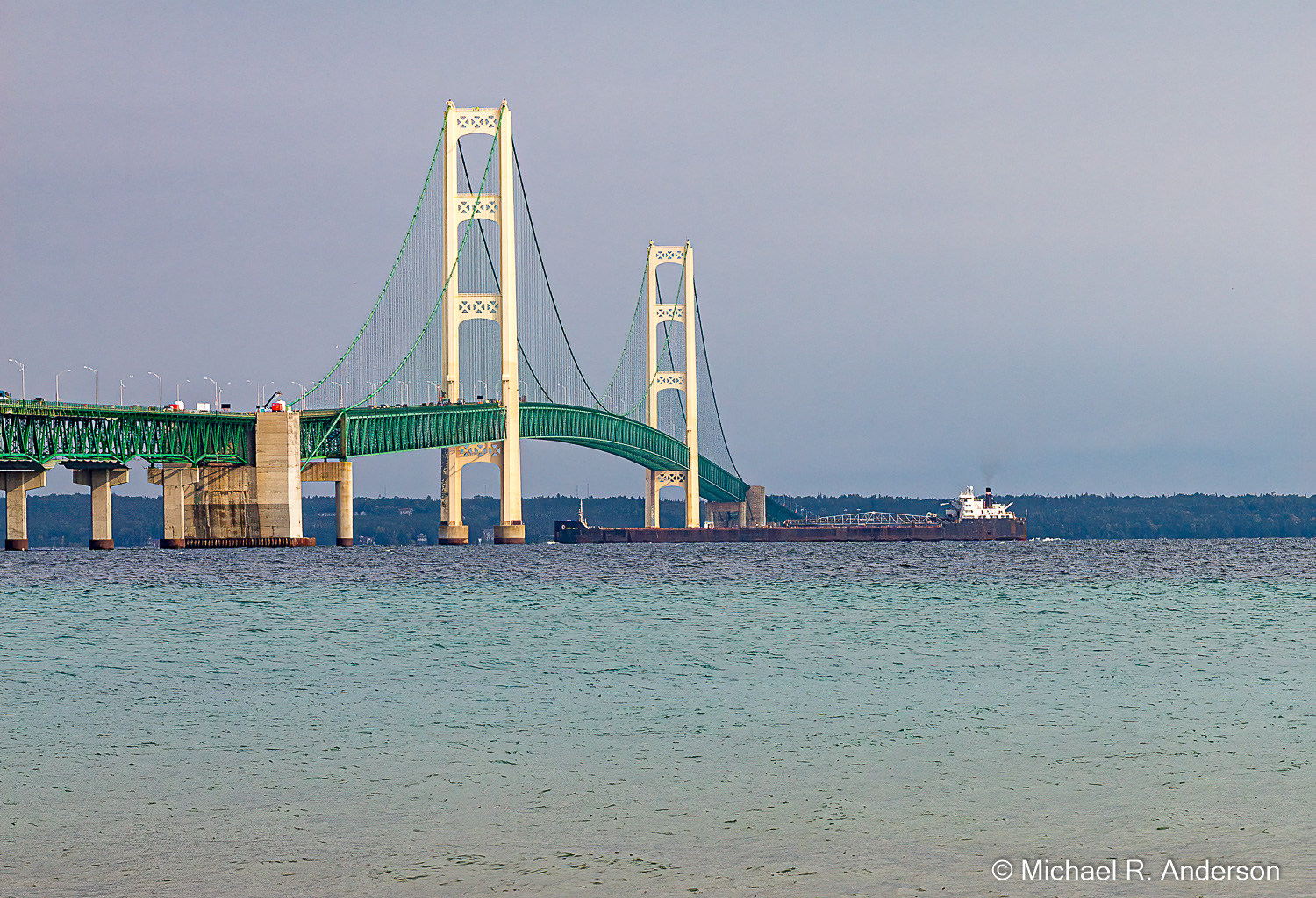
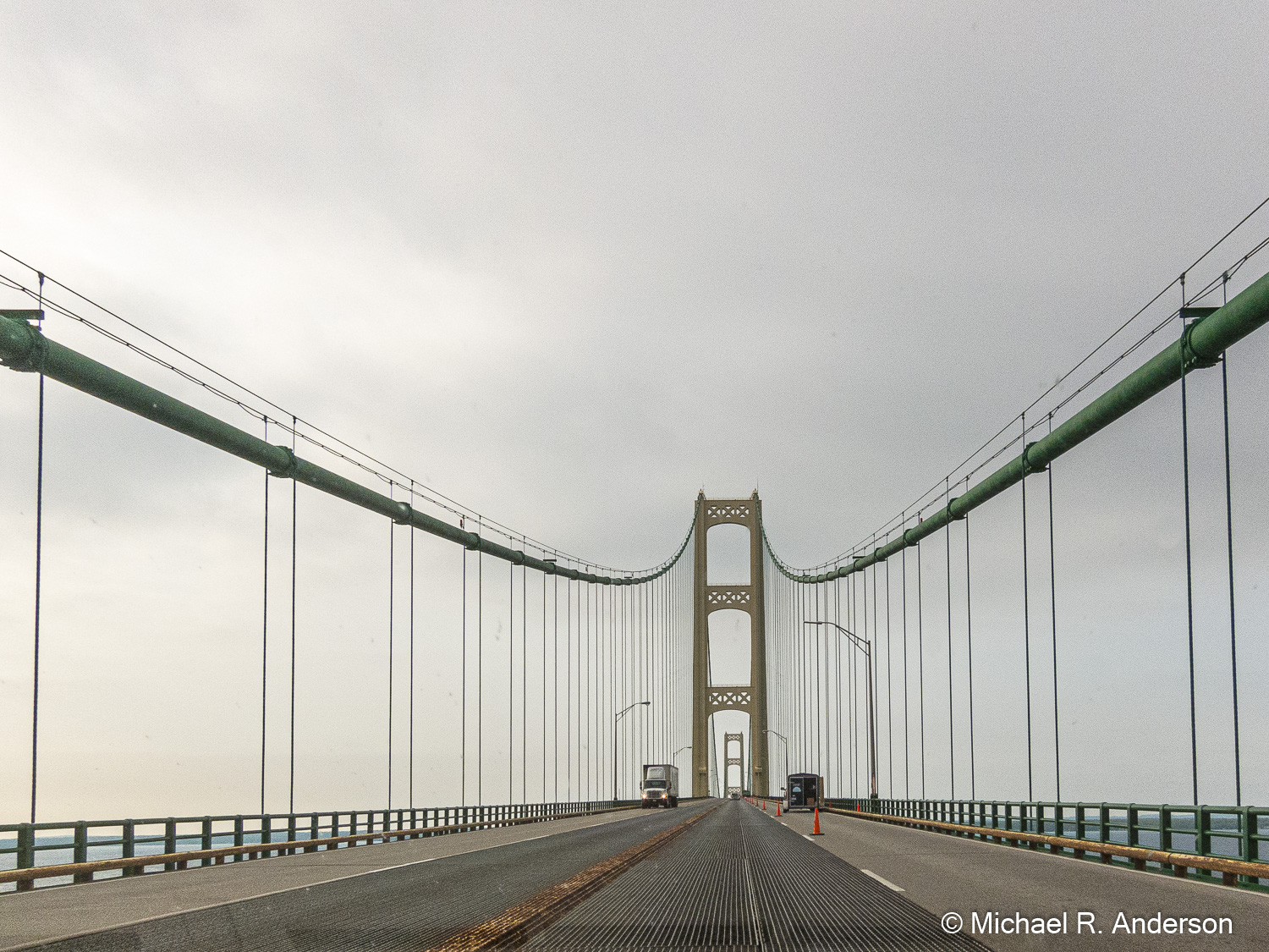
The Mackinac Bridge is the fifth longest suspension bridge in the world and the longest in the western hemisphere. It’s 26,372 feet (5 miles) long, suspends a roadway 54 feet wide, and provides a clearance for passing ships of 155 feet in the center and 135 feet at the boundaries of the navigational channel. In order to handle high winds, the deck at the center of the bridge can move as much as 35 feet in either direction. Don’t worry, however, the bridge does not swing, it just moves in one direction under severe winds and then moves back when the wind subsides.

Even before we reached the island we could see Grand Hotel, a National Historic Landmark that opened in 1887. It has 388 rooms and they claim that each room is individually decorated; no two are the same. I suspect that the rooms are a little fancier than our room in the Village Inn Hotel, but, since we were not properly attired, we were unable to view a room. I can tell you, however, that if you rent a room there in July 2022, you would have to pay anywhere from $836 to $3068 per night.

Mackinac Island has an area of 4.35 square miles and a resident population of around 500. The population of horses is estimated at around 600, so they outnumber the residents. Cars and other motor vehicles are not allowed on Mackinac Island, hence the horses. If you don’t want to walk or ride a bike, you have the option of riding a horse or getting a ride in a horse-drawn wagon. We walked. The large number of horses are good for the local economy since workers are needed to clean up the, uh, exhaust emitted by the hay-fed transportation. You can see these employees plying their trade on streets around town, or you can see places where you hope they will very soon be plying their trade.
The downtown area of the island is rather small — only about three blocks long and two blocks deep — but you won’t have trouble getting a t-shirt, eating lunch, having ice cream, buying over-priced trinkets, renting a bike, or getting on a horse-drawn tour. There are, of course, plenty of inns, suites, resorts, cottages and other accommodations for overnight guests. Be sure to continue walking beyond the downtown area because the houses, churches and other scattered businesses are all worth seeing. And, you might even see more horses!
If you don’t like history, you might want to skip this paragraph. Fort Mackinac was built on the island by the British in 1780 to overlook the Straits of Mackinac. It’s current incarnation can be seen at the top of the fifth picture above. It was later used as a garrison for about 60 American troops. During the War of 1812, British soldiers aided by Canadian fur traders and over 400 Ojibwa, Sioux, Menominee, and Winnebago captured the fort. American troops sailed up from Detroit in 1814 attempting to retake the fort but were unsuccessful. The British held it until the war ended in 1815.
If you like trivia, you might want to read this paragraph. We probably all know that Yellowstone became the first national park in 1872. The second national park, created in 1875, was … (dramatic pause) … Mackinac National Park! Fort Mackinac continued to house federal troops at that time and they were given oversight of the park. When the fort was decommissioned in 1895, Mackinac National Park was turned over to Michigan and became the first state park.

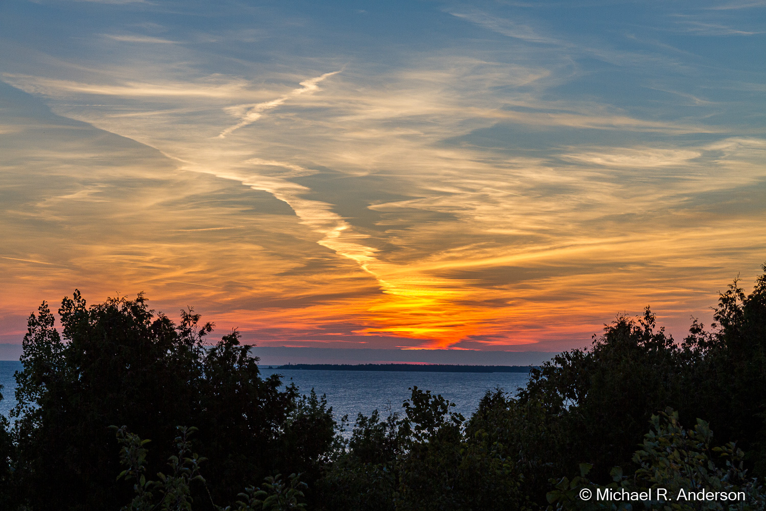
After an enjoyable day walking around Mackinac Island, we took the ferry back to St. Ignace where we drove around for another look at the bridge. We watched while a ship took advantage of the 155-foot clearance under the bridge. Then we found a quiet place to watch the sunset.

The next morning we packed our bags, drove across the Mighty Mac and made our way through lower Michigan.
