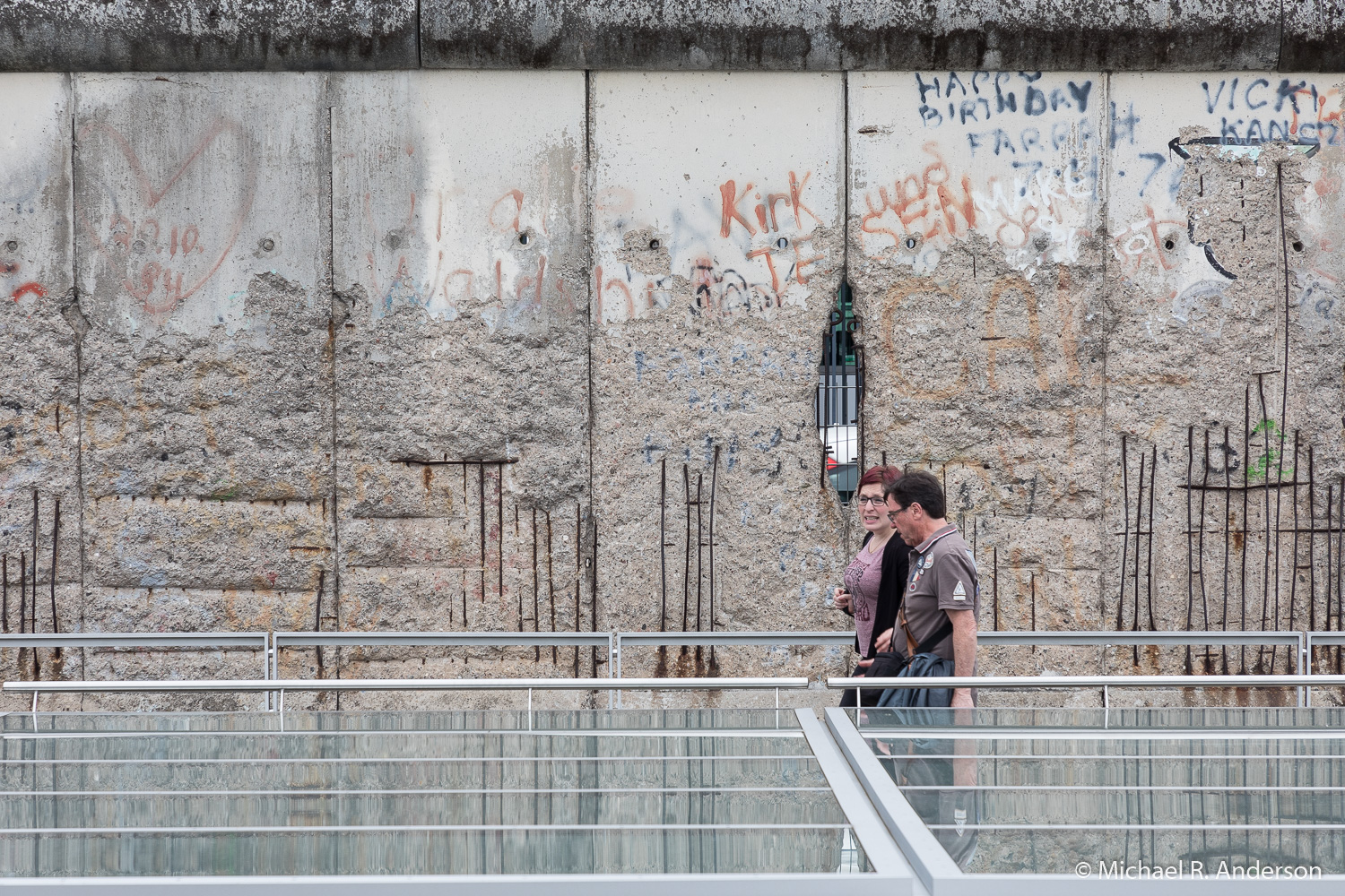
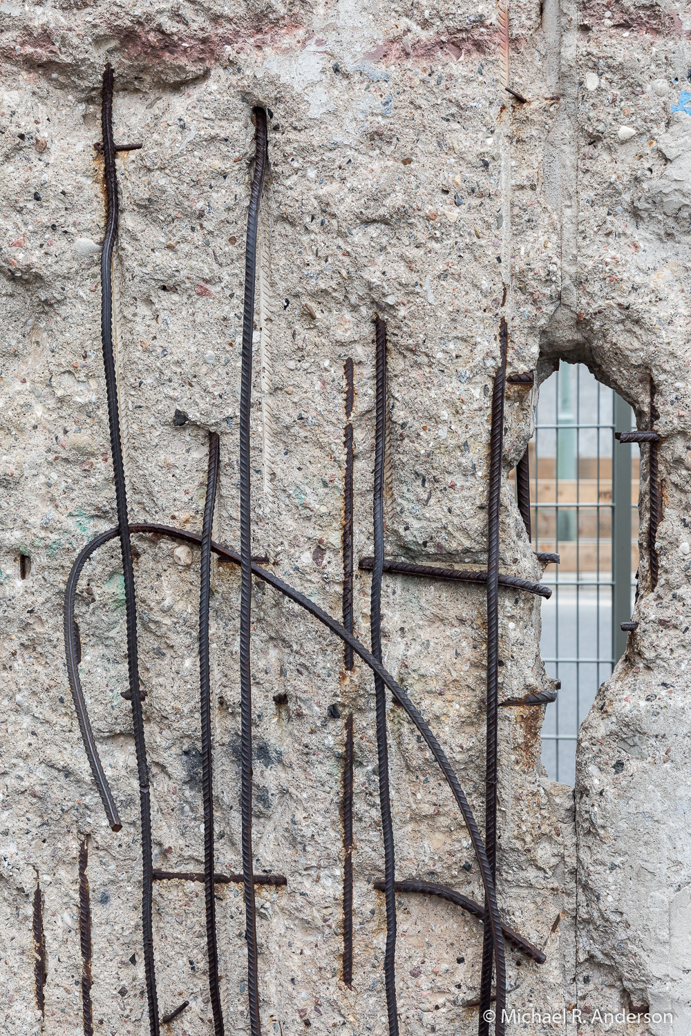
If you mention “the wall” today, most people will probably think you’re referring to President Trump’s plan to prevent illegal aliens from crossing our southern border. Not long ago, however, people may have thought you were referring to other things, like a Pink Floyd album, a structure in China, or the barrier that symbolized the split between Eastern and Western Europe, the Berlin wall. This post is about the last of those three, and about two trips to this very real portion of what was dubbed the Iron Curtain.
The Berlin Wall was constructed in the summer of 1961. I had just turned thirteen and John F. Kennedy had been inaugurated as president 6 months earlier. I knew very little about world politics, but I was old enough to worry about the possibility of a nuclear World War III. Fallout shelters were constructed in government buildings and people were taught to “duck and cover.” Though I doubted that the Russians would target a 105-acre hog farm in rural Wisconsin, our farm was located between Chicago and Milwaukee, which I thought were likely candidates. I didn’t walk around worrying; I had school work and girls to figure out. But, this was the news of the time and it often hovered around in the back of my mind.
In 1966 I had the opportunity to attend a six-week summer school program in Germany with the American Institute for Foreign Study. We were based in Bonn, then the capitol of West Germany, but took weekend tours to other parts of the country. One of those trips was to Berlin. I still have the notes I took that summer, so I don’t have to rely on my memory. The following observations were made during the Berlin trip on Saturday, 8/13/66, and Sunday, 8/14/66.
“Reached first E. Germany checkpoint at 10. Took 5 minutes to get through Allied checkpoint & 2-1/2 hrs. to get through E. German side.”
“The barbed wire around the Autobahn in E. Germany really makes one think. There’s about a 100 yd. strip cleared on each side of the road — no man’s land — with machine guns in towers every km. or so.”
“Much to my surprise, it only took about 15 minutes to get through Checkpoint Charlie. The woman guide we had in W.B. wasn’t allowed to guide us in E.B., so we got a slightly pink male guide. We were allowed to photograph anything except Checkpoint Charlie.”
“The main street was covered with flags because just the day before there was a big parade celebrating the anniversary of the wall. The streets of E.B. were almost completely empty.”

Though we weren’t allowed to photograph Check Point Charlie from the east, we were allowed to do so from the west. I took the four pictures above with a Kodak Instamatic camera that my aunt lent me so that I would have pictures to show when I returned. We were allowed to climb up to a platform where we could look over the wall. The far right image shows the no man’s land, or “death strip” as it was called. It’s hard to believe that more than 5,000 people escaped either over or under the wall. Sadly, 138 people died attempting to cross.
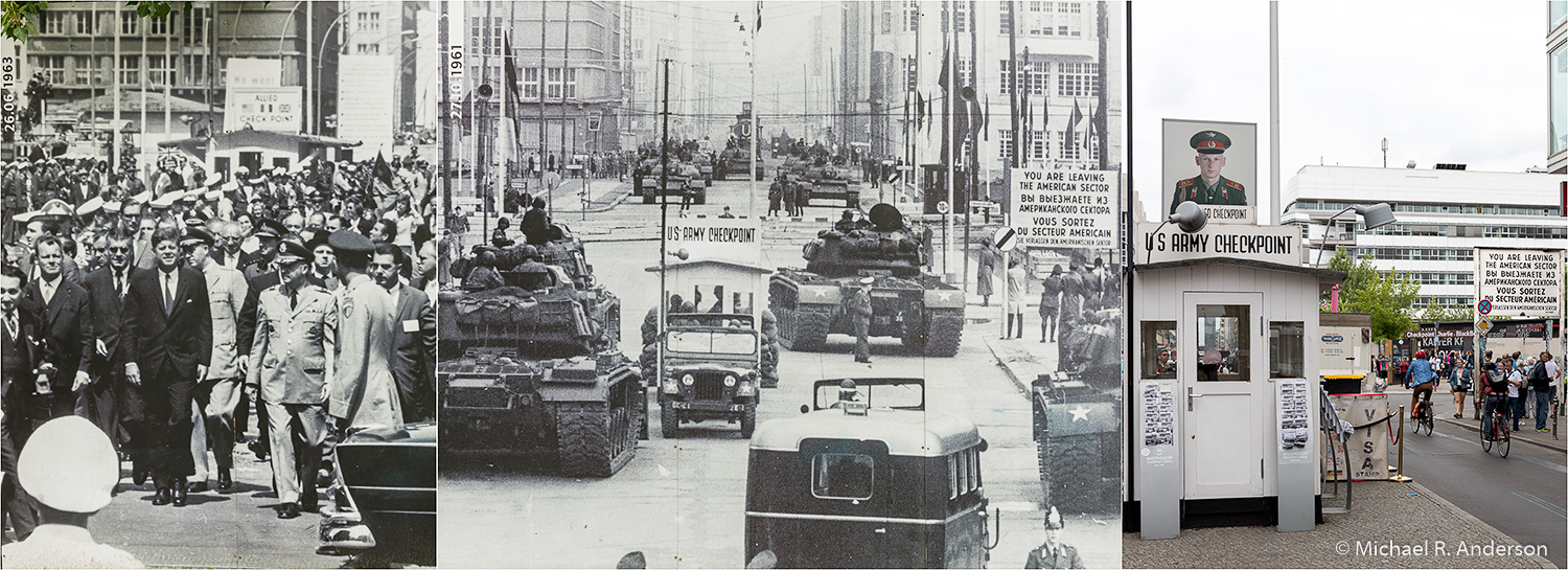
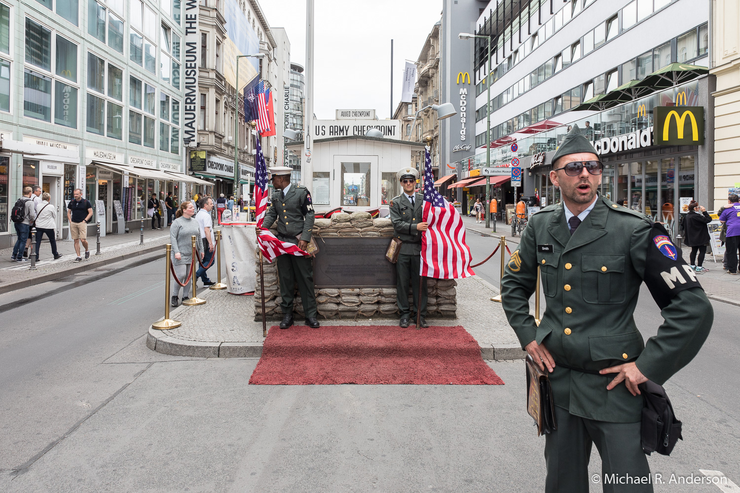
The Berlin Wall finally opened to allow Germans to freely cross on November 9, 1989. Most of it was eventually torn down. When we traveled to Germany this past summer, I wanted to return to Berlin to visit Check Point Charlie and see what remained of the wall. There were many historic photos on display. The one on the left is from President Kennedy’s visit in 1963. The one in the middle shows Check Point Charlie shortly after the wall went up in 1961. The photo on the right shows Check Point Charlie and the “You are leaving the American Sector” sign as they look today. The opening photo at the top of this post shows actors recreating a scene as it might have appeared before 1989.
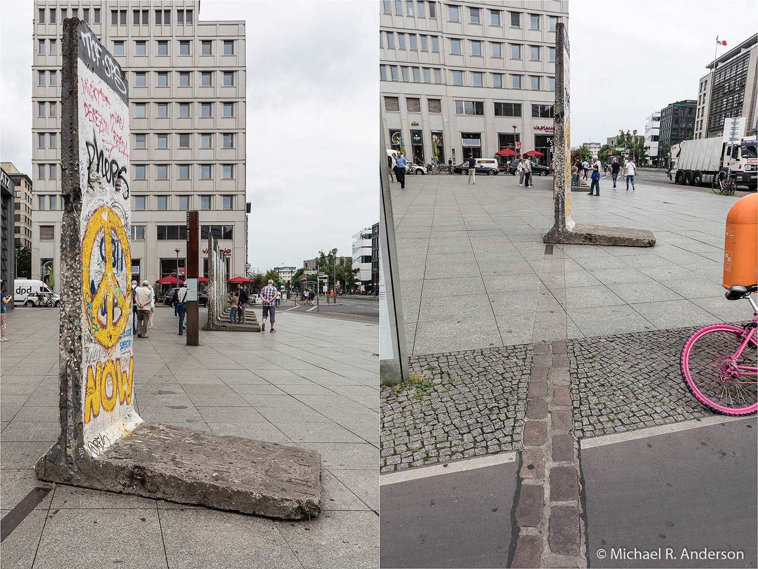
Some sections of the wall remain along its original path. In the photos above you can also see lines on the streets and sidewalks that delineate the wall’s former path.
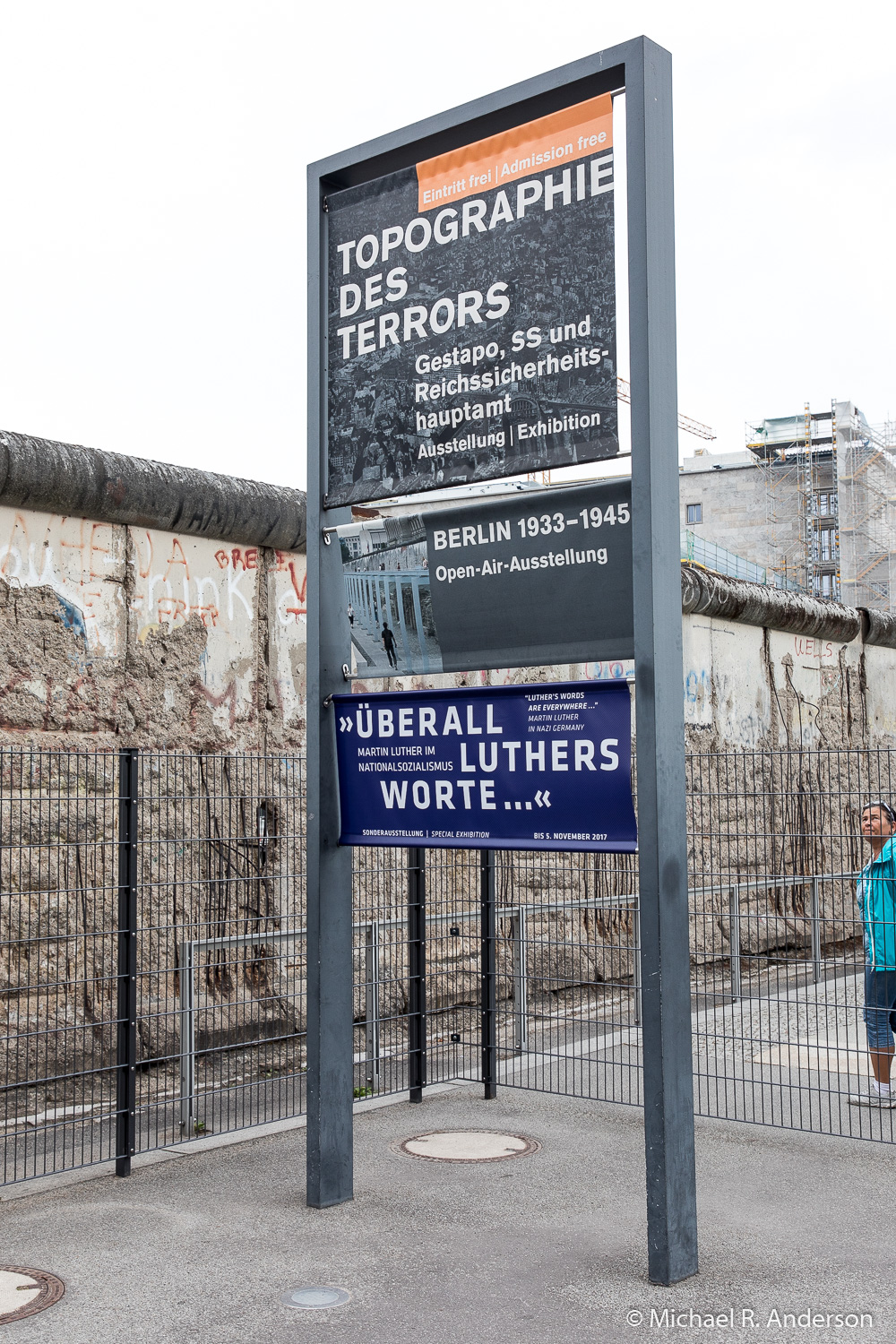
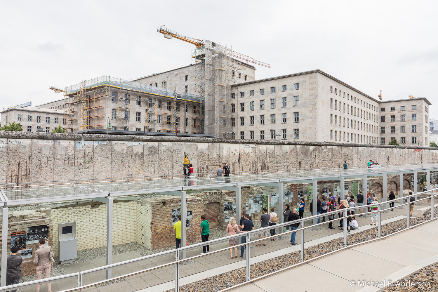
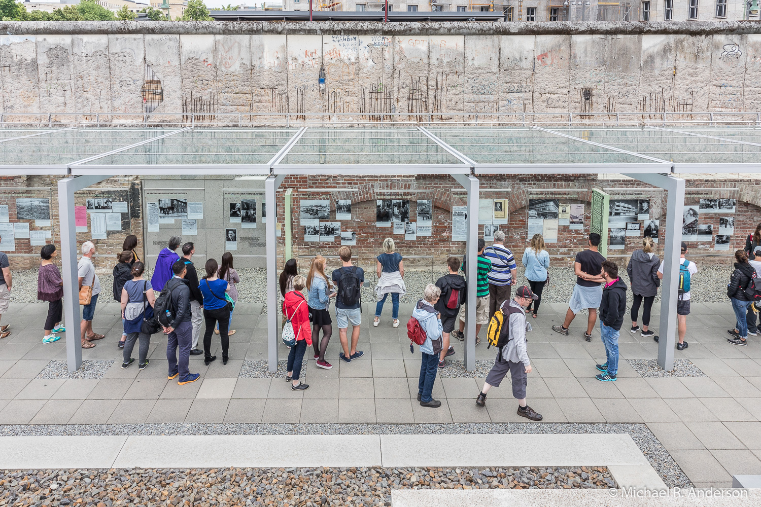
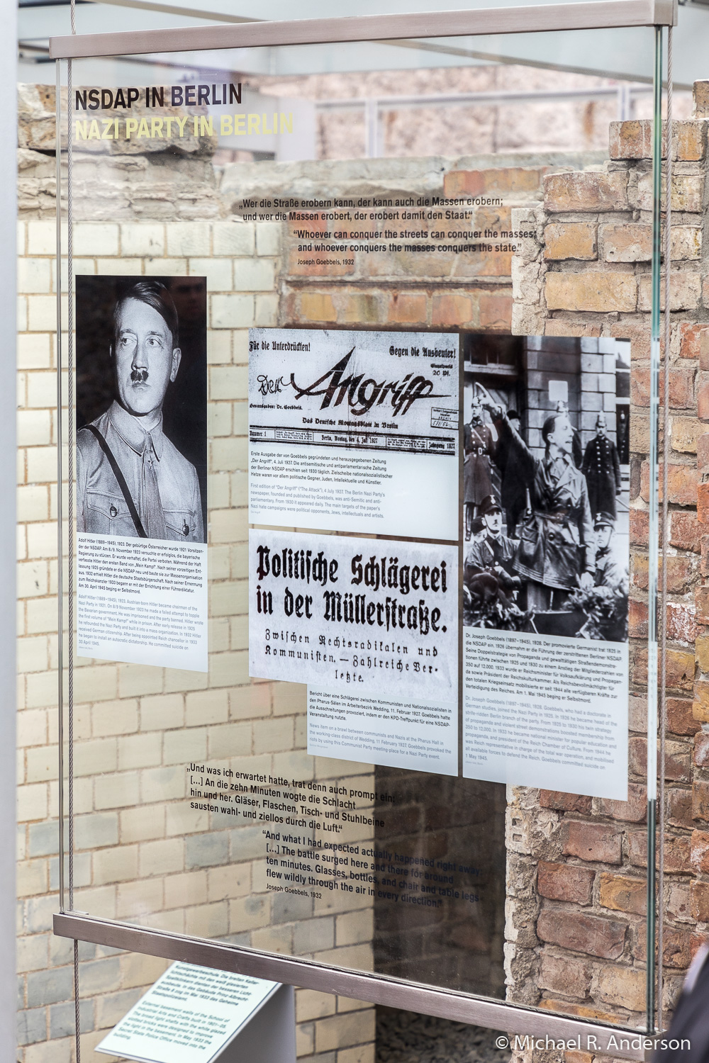
Memorials along the wall cover more than the structure erected by the Russians, they also remind us of the horrors of World War II. The longest remaining segment of the outer wall is adjacent to the museum known as the Topography of Terror. In this location, the cellar of the Gestapo headquarters, where many political prisoners were tortured and executed, was found and excavated. The site was turned into an open-air memorial and museum, protected from the elements by a canopy, detailing the history of repression under the Nazis. The slide show below shows scenes from this section of the wall.
Walls can be useful, but so can doors.
